The
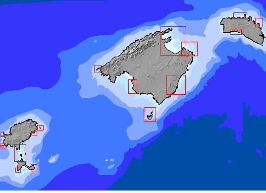
action previewed the detailed mapping of Posidonia fields situated within
SCI areas of the Balearics.
Development:
Two Service Contracts were drawn up to hire the services of firm known for its expertise in mapping benthic habitats in the Mediterranean, specially of Posidonia oceanica fields.
The development included two overlapping phases:
- Phase I: Mapping of diverse SCI areas round Majorca and part of Minorca.
- Phase II: Mapping of the rest of the diverse SCI areas of Minorca, as well as of Ibiza and Formentera.
Methods and techniques:
Techniques used were the side-scan sonar for depths of between 5 and 35 metres plus the interpretation of recently taken orthophotos for shallow waters of between 0 and 5 metres.
Techniques
- Side-scan sonar for depths of between 5 and 40 metres.
- Video used for the simultaneous capture of sea floor images.
- Total coverage of the sea floor.
- For depths of between 0 and 5 metres, mapping was done by aerial photographs that generated orthophotos in the usual way.
For both orthophotos and side-scan sonar, verification checks were carried out later by actual visits to the locations.
Positioning
- The x-y positioning was done by the use of differential GPS
- The positions were established by the use of an echo-sound.
Data processing
Data registered by the sonar were saved in digital form.
At a minimum, the following units or subunits were identified:
- Posidonia oceanica fields, including several different types (to wit: fields with pockets of clearings, continuous dense fields, continuous non-dense fields, fields with large swathes of bushless areas, splotchy fields with isolated bushes and channels between bushes .)
- Dead bushes of Posidonia oceanica.
- Other fields, in particular of Cymodocea nodosa.
- Areas of sediment holding no plants, distinguishing, as far as possible, the large units of sediment.
- Rocky sea floor areas
- Maërl sea floor areas
- Other interesting aspects: artificial
reefs, drag marks, signs that sand has been mechanically extracted,
artificial channels and pipes, wrecks, man-made structures for the express
purpose of acting as anchoring points, ripple marks, etc.
Verifying and assessing the methods.
The interpretation of sound graphs and orthophotos was done by watching the filmed images on the one hand, and on the other by directly verifying the data through immersions carried out at the different locations.